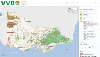
State Wide Integrated Flora and Fauna Teams (SWIFFT) is a network for knowledge sharing and information exchange that supports conservation and management of threatened species, biodiversity and the natural environment across Victoria.
Subscribe to SWIFFT news
and updates
To subscribe to SWIFFT news and updates, click on the 'Join our list' button below then complete the webform that appears in the new browser window.
Join our list


